
بأسطول هو الأكبر عالمياً.. المملكة تعزز جودة طرقها لاستقبال 30 مليون معتمر بحلول 2030 – أخبار السعودية
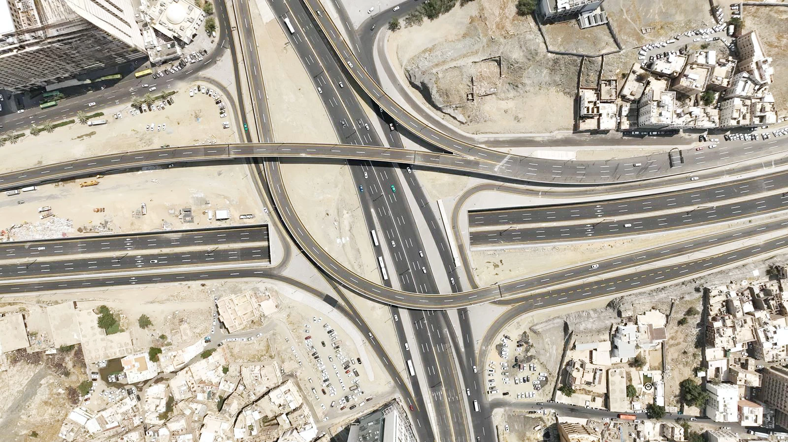
تشهد شبكة الطرق في المملكة تطوراً نوعياً يعزز مكانتها بين أكثر الشبكات تقدماً على مستوى العالم، بفضل ما تتمتع به من جودة عالية أهلتها لتصدر مؤشر ترابط شبكة الطرق عالمياً. ويأتي هذا التقدم مدعوماً بأسطول متطور من معدات المسح والتقييم يُعد الأكبر عالمياً، ضمن جهود هيئة الطرق لضمان جاهزية الطرق وسلامتها، ودعم مستهدفات رؤية المملكة 2030 في قطاع الحج والعمرة، الهادفة إلى استقبال 30 مليون معتمر بحلول 2030.
وأكدت الهيئة التزامها بتوظيف أحدث التقنيات لضمان جاهزية الطرق المؤدية إلى المشاعر المقدسة، بما يسهم في تعزيز تجربة ضيوف الرحمن ورفع مستويات السلامة والكفاءة التشغيلية. وأوضحت أن الأسطول المتطور سيدعم مستهدف رفع مؤشر جودة الطرق إلى المرتبة السادسة عالمياً، إذ يضم 18 معدة متخصصة تعمل بخمس تقنيات حديثة تعتمد على تطبيقات الذكاء الاصطناعي، بما يعزز جودة الطرق ويرفع كفاءة تجربة مستخدميها، خصوصاً خلال مواسم الحج والعمرة.
ويشمل الأسطول معدات متخصصة لمسح الأضرار السطحية، وقياس معامل الوعورة العالمي، وقياس سُمك طبقات الطريق، وقياس الانحراف، واختبار مقاومة الانزلاق. وتبرز ضمنها معدات مسح الأضرار السطحية التي تضم سبع وحدات مزودة بثلاث كاميرات عالية الدقة وخمس وحدات ليزرية قادرة على قياس التشققات والتخدد بدقة تصل إلى 0.05 ملم، إضافة إلى أنظمة تحديد المواقع وتخزين البيانات التي تتيح تحليل حالة الطرق بدقة عالية ودعم قرارات الصيانة الفورية.
كما يضم الأسطول أربع معدات لقياس معامل الوعورة العالمي (IRI) لتقييم استواء الطرق المنفذة حديثاً وراحة القيادة، عبر وحدات ليزرية وأنظمة تخزين متقدمة. ويشمل كذلك ثلاث معدات لقياس سمك طبقات الطريق مزودة برادارات متعددة الترددات للتحقق من متانة الطبقات الإنشائية، وثلاث وحدات لقياس الانحراف تعتمد على تسعة حساسات وأنظمة تحميل متطورة لتقييم قدرة الطريق تحت الأحمال المرورية بدقة عالية. إضافة إلى ذلك، يحتوي الأسطول على وحدة متخصصة لقياس مقاومة الانزلاق تحاكي ظروف الأمطار لاختبار الطريق في أصعب الظروف، ومعدة للمسح التصويري الرقمي المتحرك لرصد العناصر غير الرصفية مثل الإشارات الإرشادية والحواجز الواقية، بما يسهم في تحديد المخاطر المحتملة ورفع كفاءة تخطيط أعمال الصيانة.
The road network in the Kingdom is witnessing a qualitative development that enhances its position among the most advanced networks in the world, thanks to its high quality that has enabled it to top the global road network connectivity index. This progress is supported by a sophisticated fleet of surveying and evaluation equipment, the largest in the world, as part of the efforts of the Roads Authority to ensure the readiness and safety of the roads, and to support the objectives of the Kingdom’s Vision 2030 in the Hajj and Umrah sector, which aims to receive 30 million pilgrims by 2030.
The Authority confirmed its commitment to employing the latest technologies to ensure the readiness of the roads leading to the holy sites, which contributes to enhancing the experience of the guests of الرحمن and raising levels of safety and operational efficiency. It clarified that the advanced fleet will support the goal of raising the road quality index to the sixth position globally, as it includes 18 specialized devices operating with five modern technologies based on artificial intelligence applications, which enhances road quality and increases the efficiency of its users’ experience, especially during the Hajj and Umrah seasons.
The fleet includes specialized equipment for surveying surface damages, measuring the International Roughness Index (IRI), measuring the thickness of road layers, measuring deviation, and testing skid resistance. Among these is the surface damage surveying equipment, which includes seven units equipped with three high-definition cameras and five laser units capable of measuring cracks and ruts with an accuracy of up to 0.05 mm, in addition to positioning systems and data storage that allow for high-precision analysis of road conditions and support immediate maintenance decisions.
The fleet also includes four devices for measuring the International Roughness Index (IRI) to assess the smoothness of newly constructed roads and driving comfort, through laser units and advanced storage systems. It also includes three devices for measuring the thickness of road layers equipped with multi-frequency radars to verify the durability of structural layers, and three units for measuring deviation that rely on nine sensors and advanced loading systems to evaluate the road’s capacity under traffic loads with high accuracy. Additionally, the fleet contains a specialized unit for measuring skid resistance that simulates rainy conditions to test the road under the most difficult circumstances, and a mobile digital imaging surveying device to monitor non-paved elements such as guide signs and protective barriers, which contributes to identifying potential hazards and enhancing the efficiency of maintenance planning.
للمزيد من المقالات
اضغط هنا